Precog Geospatial Systems
Precog Geospatial delivers the foresight hidden within geospatial data—transforming imagery, terrain, and spatial intelligence into predictions, insights, and decisions that help organizations stay ahead of what's next..
Services to provide world-class datasets
Precog Geospatial Systems is a technology forward software and services company providing fast and accurate processing of large area datasets for both orthorectified imagery & LiDAR data to current USGS specifications. Our goal is to provide unprecedented services to the geospatial industry to ensure cost-effective and timely delivery of datasets to clients’ specifications.
Meet Rigel the Precog Geospatial Frog.

Rigel shines as one of the most brilliant stars in the night sky, anchoring the iconic constellation of Orion. Known for its striking blue-white glow, Rigel appears as a single radiant point to the naked eye—but it’s actually part of a complex multi-star system. Located far beyond our solar system, Rigel’s immense size and brightness make it one of Orion’s most captivating and powerful features.
Government Value Add.
Precog Geospatial delivers Valued Add for government agencies by producing precise, high-quality geospatial data that accelerates analysis, decision-making, and mission success.
At Precog Geospatial, we help organizations make better decisions through high-quality geospatial data acquisition and processing. Our advanced aerial imagery and data production workflows transform complex landscapes into accurate, decision-ready datasets that support environmental planning, resource management, infrastructure development, and conservation initiatives. By delivering reliable geospatial intelligence, we enable our clients to evaluate impacts, reduce uncertainty, and make informed choices with confidence.
Rigel
Meet Rigel the Precog Geospatial frog! Rigel is named after one of the brightest stars in our night sky, just below Orions Belt.

Responsible AI Integration
By combining robust software engineering with targeted AI integration, we reduce processing time, control computational costs, and minimize unnecessary resource consumption. The result is efficient, scalable geospatial data production that supports today's requirements while remaining ready for tomorrow's AI-driven applications.
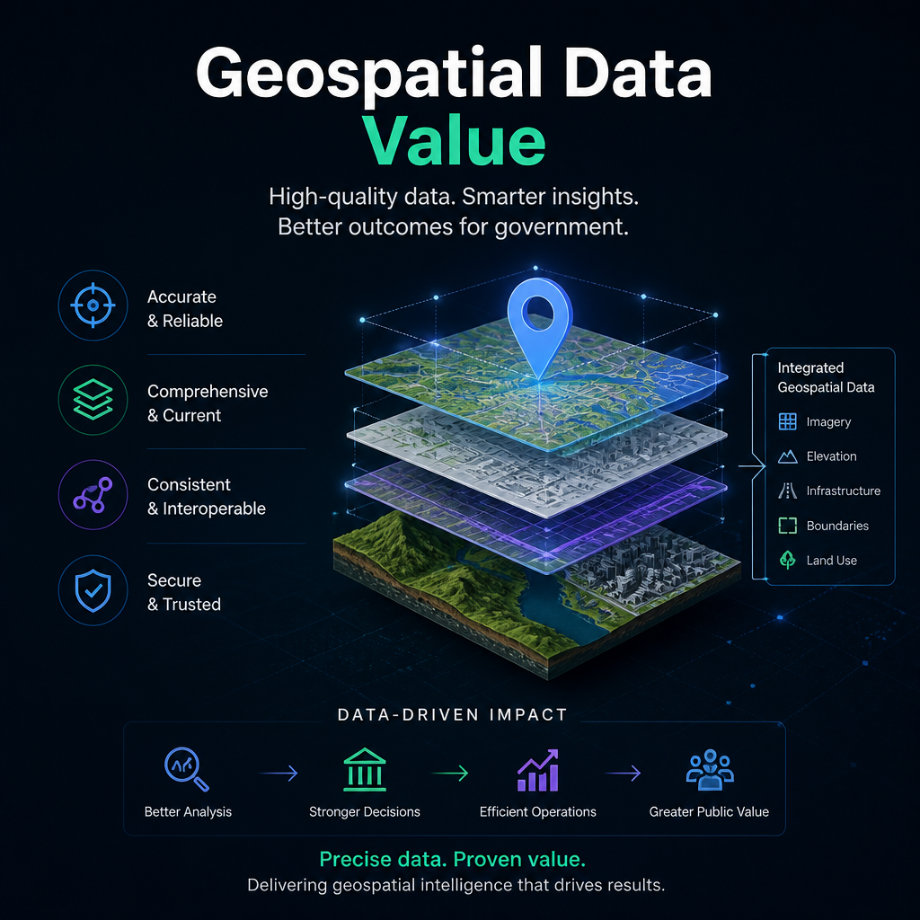
Gov. Value Add
Precog Geospatial delivers Valued Add for government agencies by producing precise, high-quality geospatial data that accelerates analysis, decision making, and mission success.
Welcome to Precog Geospatial
Innovative & Technology.
Precog Geospatial is an upcoming geospatial technology initiative focused on delivering modern,
data‑driven spatial solutions.
We’re building a platform—and a set of practical services—that help teams turn complex spatial
data into clear, confident decisions.
.
Who We Are
We’re a geospatial technology team that cares deeply about accuracy, usability, and real-world outcomes. Our approach blends strong geospatial fundamentals with modern, data-driven & AI workflows so results are not only precise, but repeatable and easy to integrate into your operations. We minimize friction at every step through clear communication, predictable scope, and deliverables designed to plug directly into your team's existing workflows.
What We’re Building
The official Precog Geospatial platform is currently in development.
As we prepare for launch, we’ll be publishing additional details, documentation, and project
components as they become available.
Our aim is simple: make high-quality geospatial outputs easier to produce, easier to trust, and
easier to scale—from prototype to production.
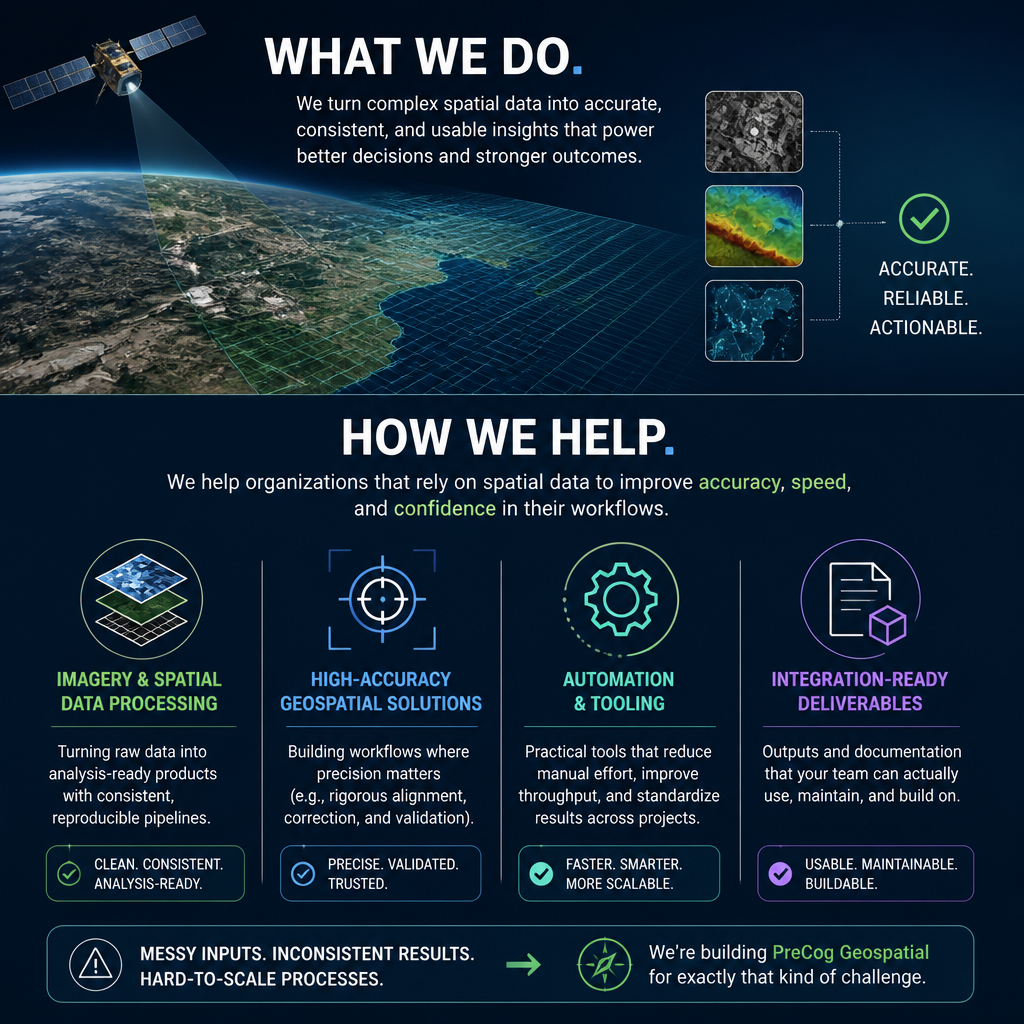
What We Do
& How We Help
We help organizations that rely on spatial data to improve accuracy, speed, and confidence in their workflows. Typical focus areas include:
- Imagery and spatial data processing – Turning raw data into analysis-ready products with consistent, reproducible pipelines.
- High-accuracy geospatial solutions – Building workflows where precision matters (e.g., rigorous alignment, correction, and validation).
- Automation & tooling – Practical tools that reduce manual effort, improve throughput, and standardize results across projects.
- Integration-ready deliverables – Outputs and documentation that your team can actually use, maintain, and build on.
If you’re dealing with messy inputs, inconsistent results, or hard-to-scale geospatial processes, we’re building Precog Geospatial for exactly that kind of challenge.
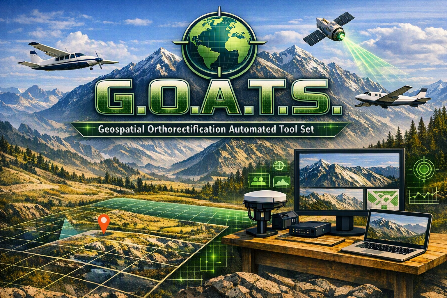
G.O.A.T.S.
Geospatial Orthorectification Automated Tool Set
Coming soon.........
At Precog Geospatial, we build our solutions on proven algorithmic foundations and apply artificial
intelligence only where it delivers measurable value. Rather than relying on AI for entire
workflows, we use it selectively to automate tasks that would traditionally require manual
interpretation or review. This approach helps ensure consistent, reliable, and repeatable outputs
while maintaining transparency throughout the production process.
ISO 9001
Quality comes firstComing soon......... Quality comes 1st - without it, neither schedule nor price matters.
Our Quality Statement -
"Precog Geospatial is committed to delivering accurate, reliable, and actionable geospatial data that meets customer and applicable requirements. We achieve this through customer focus, technical excellence, responsible environmental stewardship, and the continual improvement of our Quality Management System and business processes."

ISO 14001
Our World First
Coming soon.........
Our Environmental Statement -
"Precog Geospatial is pursuing ISO 14001 certification to demonstrate our commitment to environmental responsibility, sustainable business practices, and continual improvement of our environmental performance, helping to reduce our environmental impact and protect natural resources for future generations."